

Our Mission
We work in West Virginia and the surrounding region to help meet the challenge of global warming and the climate crisis.
WV3C programs emphasize impacts and issues that are most important to West Virginians, presented in non-confrontational opportunities for learning and dialogue.
The West Virginia Center on Climate Change takes an “all of the above” position on climate solutions. We welcome tax-deductible donations from individuals and foundations.
Our Strategy
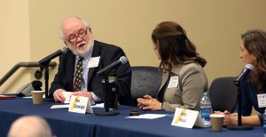
The WV3C organizes live and online educational programs and media outreach that bring scientific and policy expertise about the climate crisis to West Virginians and our neighbors.
Our expert-led nonpartisan programs — in a wide range of community settings — are based on peer-reviewed research and solid experience and scholarship.
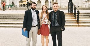
We partner with a diverse group of individuals, organizations, and institutions.
Our People
The WV3C Advisory Board are Emily Calandrelli; Rafe Pomerance; James Van Nostrand; Patrick McGinley; and Evan Hansen. The WV3C Project Staff is Haley Paul Tom Rodd is the Project Supervisor.
Scholars, professionals, and other experts provide advice and content for WV3C programs.